LAKE ALMANOR WATERSHED GROUP
LAWG is committed to sustaining a "healthy watershed that ensures water quality and riparian and wetland habitat for fish, wildlife, and native plants while recognizing the importance of people’s economic livelihood and quality of life.”
 Get Involved

About
The Lake Almanor Watershed Group (LAWG), formerly known as the Almanor Basin Watershed Group (ABWAC), was created in 2005 by the Plumas County Board of Supervisors to address water quality, land use, and critical habitat issues in the Lake Almanor Basin and make policy recommendations to the Board of Supervisors. From 2005 to 2013, ABWAC served as an official advisory body to the Plumas County Board of Supervisors. The eleven volunteer ABWAC members worked closely with existing organizations, and provided recommendations to the county on a range of topics from overnight boat use on Lake Almanor to cloud-seeding. ABWAC created a Watershed Management Plan that was approved by the Plumas County Board of Supervisors in 2009 and is intended to guide all efforts by the ABWAC to protect water quality, critical habitat, and quality of life in the Lake Almanor Basin. Since 2009, ABWAC (now LAWG) raises money each year to hire an independent contractor to sample the lake. In September of 2013, the group decided to end their official relationship as an advisory body to the Plumas County Board of Supervisors. The group continues to pursue its mission to maintain and improve the health of the Lake Almanor watershed. Sierra Institute has been a part of LAWG since its origins in the early 2000s and provides watershed coordination for the group.
Activities
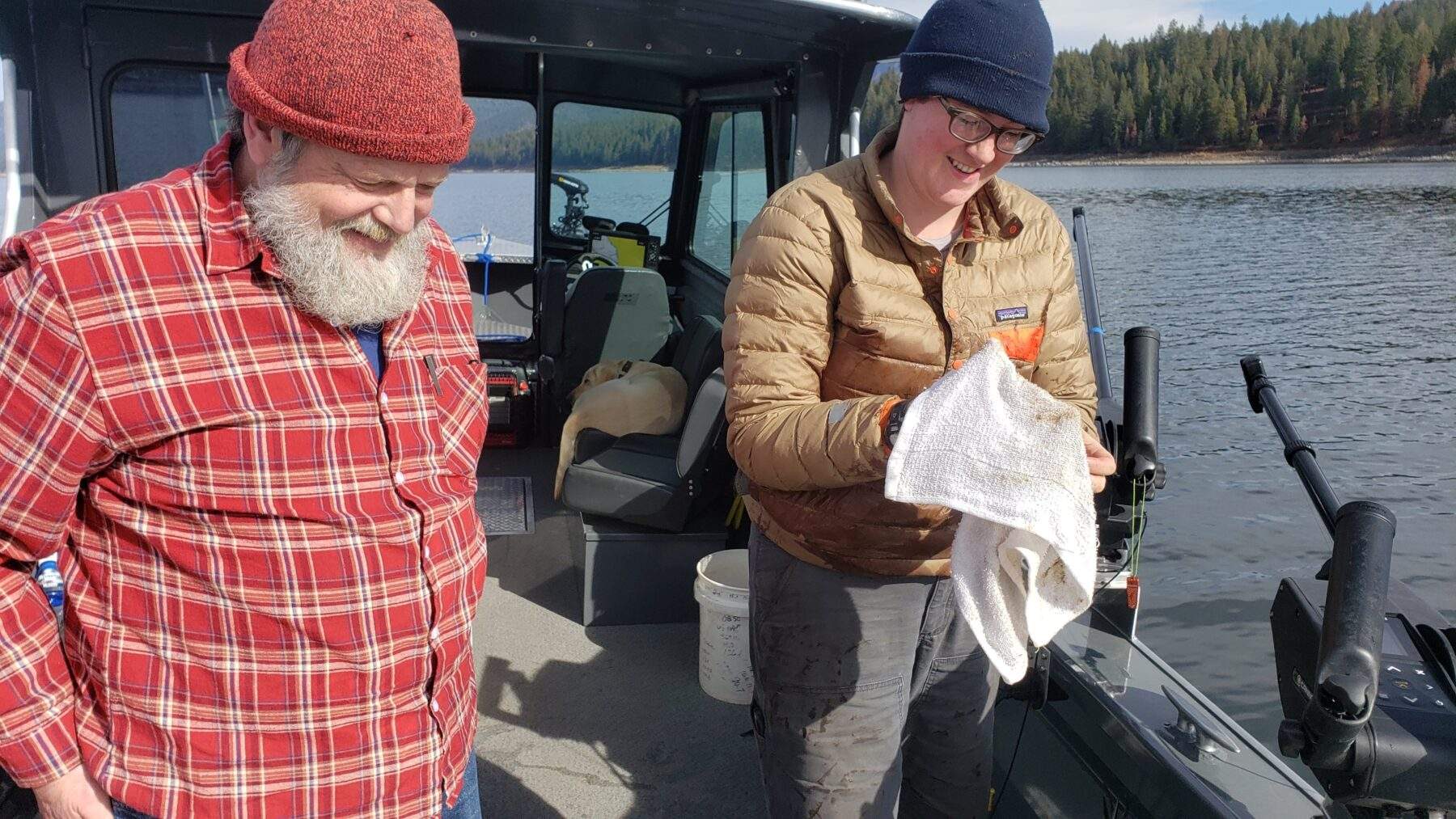
Water Quality Monitoring
The Lake Almanor Watershed Group (LAWG) conducts annual water quality monitoring of Lake Almanor and its tributaries. Sierra Institute staff and local volunteers collect samples to explore important water quality parameters like dissolved oxygen, water temperature, nutrient content, and algal concentration. Each year, LAWG hires an independent contractor, Dr. Gina Johnston from CSU Chico, to analyze these results and compile them into an annual report on the health of Lake Almanor. Annual Water Quality Reports can be viewed and downloaded from the Resources tab below.
Water Quality Monitoring Sites
Map made by Kevin Price, 2023
Interested in helping with water quality monitoring? Check out the volunteer manual to find out more.
Water Trails Map
The Almanor Basin Water Trails Map is a “non-profit” map, designed to promote low-impact recreation in the area and boost local economic opportunities. This is a project of the Mountain Meadows Conservancy. More information on where you can buy the map can be found here.
For information about other Sierra Institute projects, check out this page.
Resources
Glossary for Lake Almanor Reports
Most Recent Report:
Previous Years:
2021 Lake Almanor Water Quality Report
2021 Table 2 Phytoplankton Data
2021 Table 4 Photos of Common Phytoplankton and Zooplankton
2020 Lake Almanor Water Quality Report
Table 1. Lake Almanor Physical Data 2019
Table 2, Lake Almanor Phytoplankton, 2019
Table 3. Lake Almanor Zooplankton, 2019
Table 1. Lake Almanor Physical Data,
Table 2. Lake Almanor Phytoplankton
Table 3. Lake Almanor Zooplankton
Table 4a.Lake Almanor Chemical Results, May 2018
Table 4b.Lake Almanor Chemical Results, July 2018
Table 4c.Lake Almanor Chemical Results, September 2018
Table 4d.Lake Almanor Chemical Reservoir Results, Nov 2018
Table 4e.Lake Almanor Chemical Stream Results_Nov 2018
2008
2007