
Sovereignty in Every Map
Explore the intersection of indigenous wisdom and GIS technology in this recap of the Tribal Data Sovereignty workshop held at CSU Chico.
Bridging Ancestral Wisdom and Modern Tools
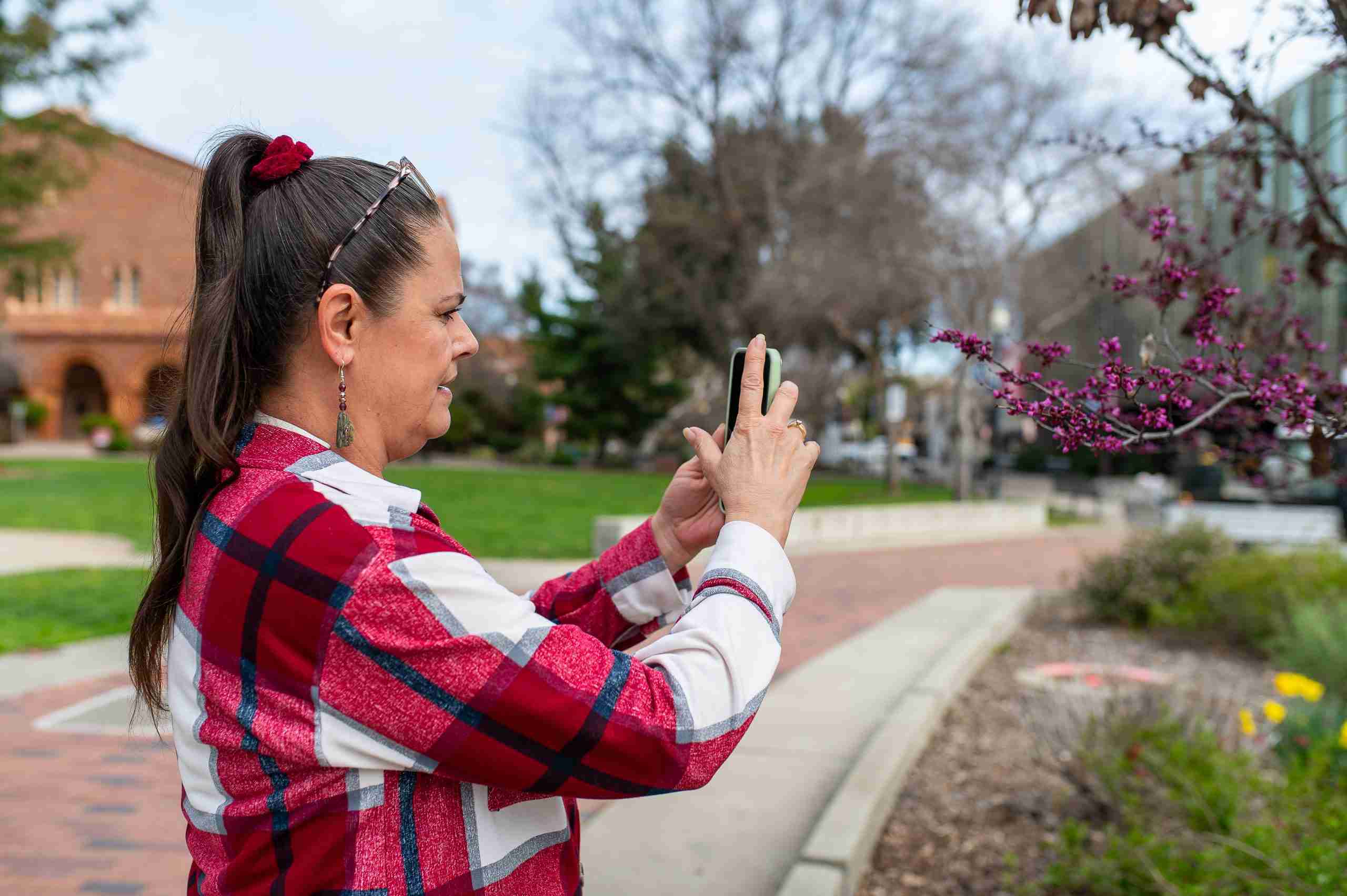
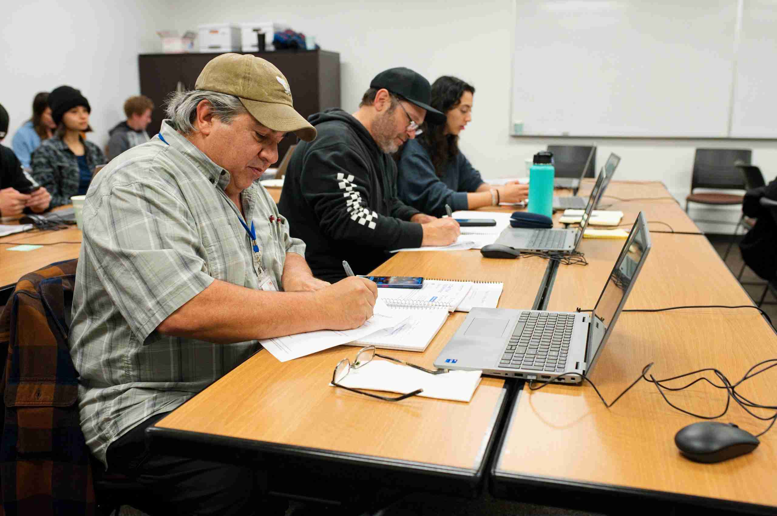
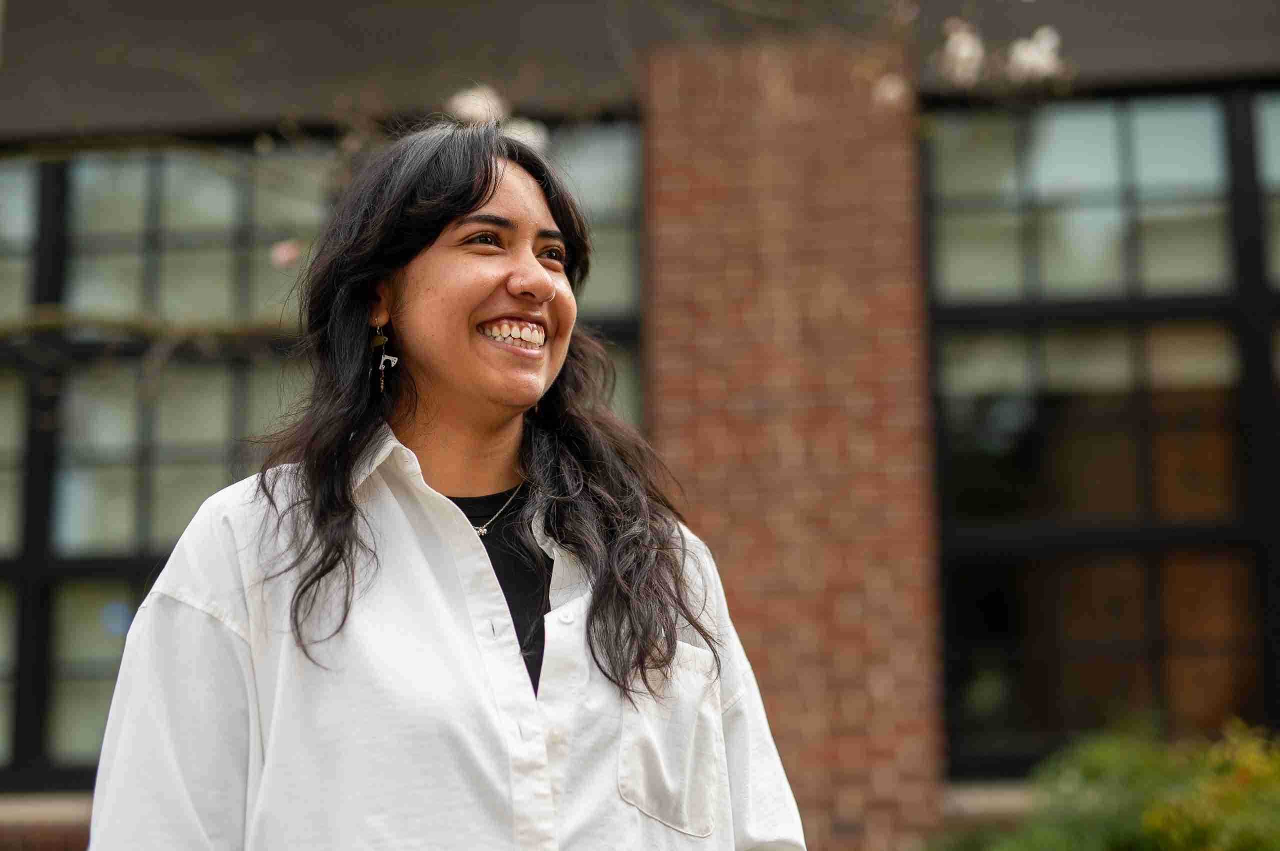
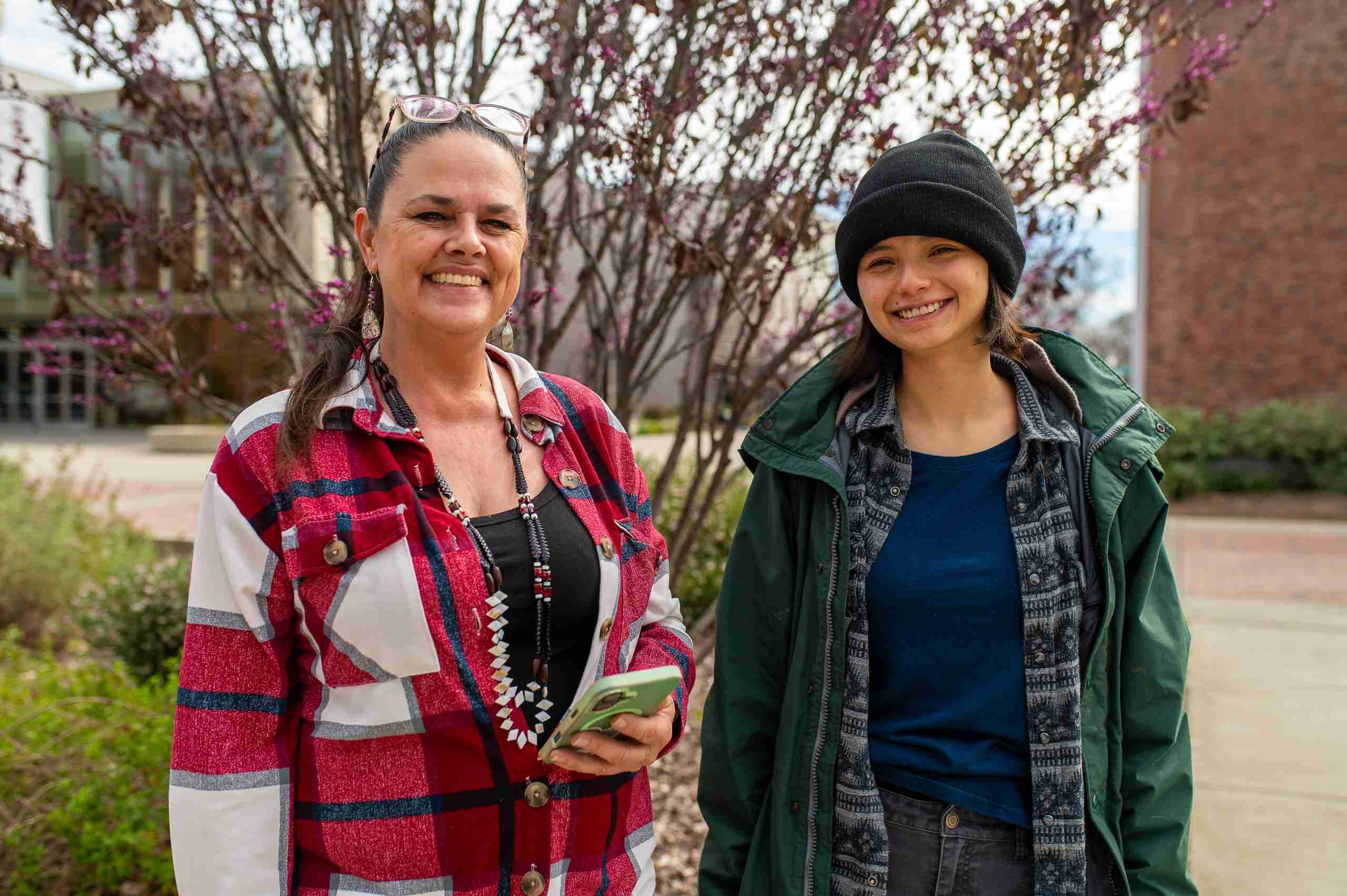
When I look out across our ancestral lands, I see more than just the trees and the ridges; I see the stories of our ancestors and the future of our children woven into the very soil. As a member of the Berry Creek Rancheria Tyme Maidu Tribe and a leader in our workforce training efforts, I have often thought about how we can better protect these sacred places while navigating the digital landscape of the modern world. A few weeks ago a group of 18 participants from surrounding Maidu Tribes and Tribally led organizations gathered under the roof of the Office of Tribal Relations at CSU Chico to bridge the gap between our traditional stewardship practices and the technology of today.
Laying the Digital Foundation
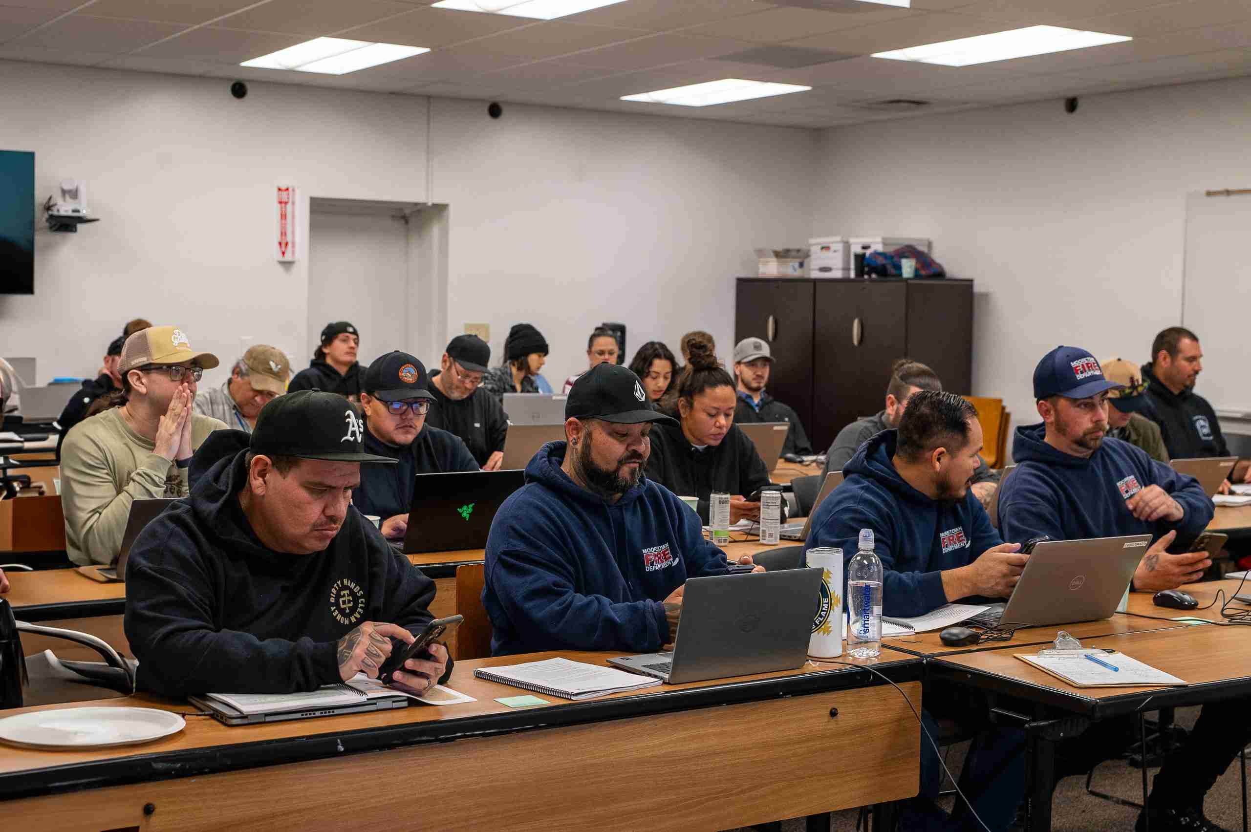
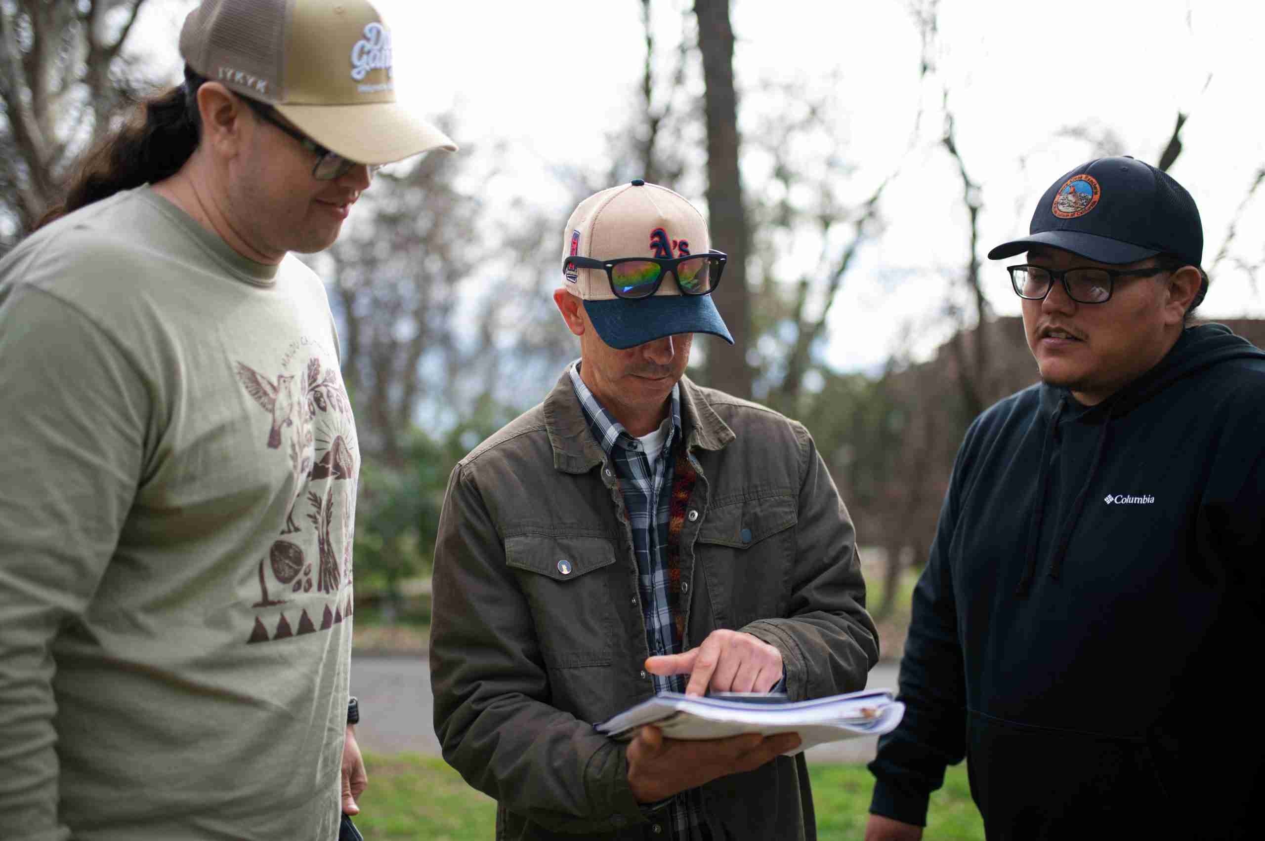
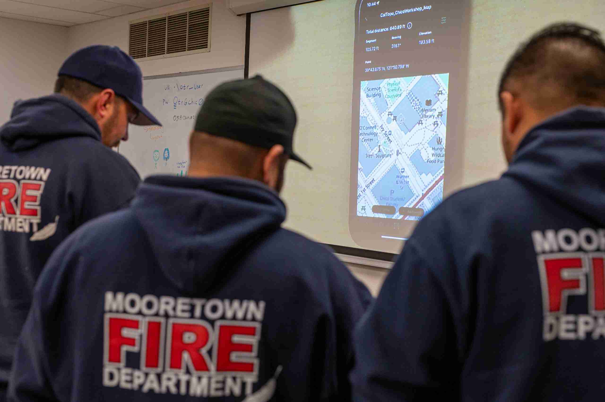
The foundations of learning were laid on Monday morning over a light breakfast, before Karina Bencomo of Berkeley Forests opened the circle. Ricky Satomi from the University of California Cooperative Extension grounded the participants in the fundamentals of Geographic Information Systems (GIS), framing these tools as modern ways to document and protect our ancient connection to the earth. By mid morning, Kane Russell moved the teaching toward the land itself, demonstrating how field data collection through Avenza and CalTopo allows for the translation of physical observations into digital maps that carry weight in the modern world. After a midday meal, Dr. Andy Lyons guided the group through ArcGIS Pro, followed by an open session where participants worked side by side in creating a map out of pre-existing data that helped produce the same end result for each participant.
Data Sovereignty and Cultural Protection
Tuesday’s sessions delved into the heart of the mission, centering on the vital necessity of cultural protection and digital ownership. A powerful dialogue on GIS Data Sovereignty and Privacy was led by Gilbert Romero and Bret Guisto of the Chumash Fire Department, who spoke from the front lines of protecting indigenous interests and sacred sites during wildfire emergencies. They shared the hard-won wisdom of creating standard operating procedures to ensure that cultural data remains under tribal care and permissions rather than being exposed to outside agencies without consent. The atmosphere was further enriched by Donna Begay, founder of the nonprofit California Tribal GIS, who offered a vision of national and regional resources that honor our unique status as sovereign nations. The afternoon concluded with Kane Russell returning to a live demo, showing how to weave that morning’s gathered field data into a map that tells a story of stewardship.
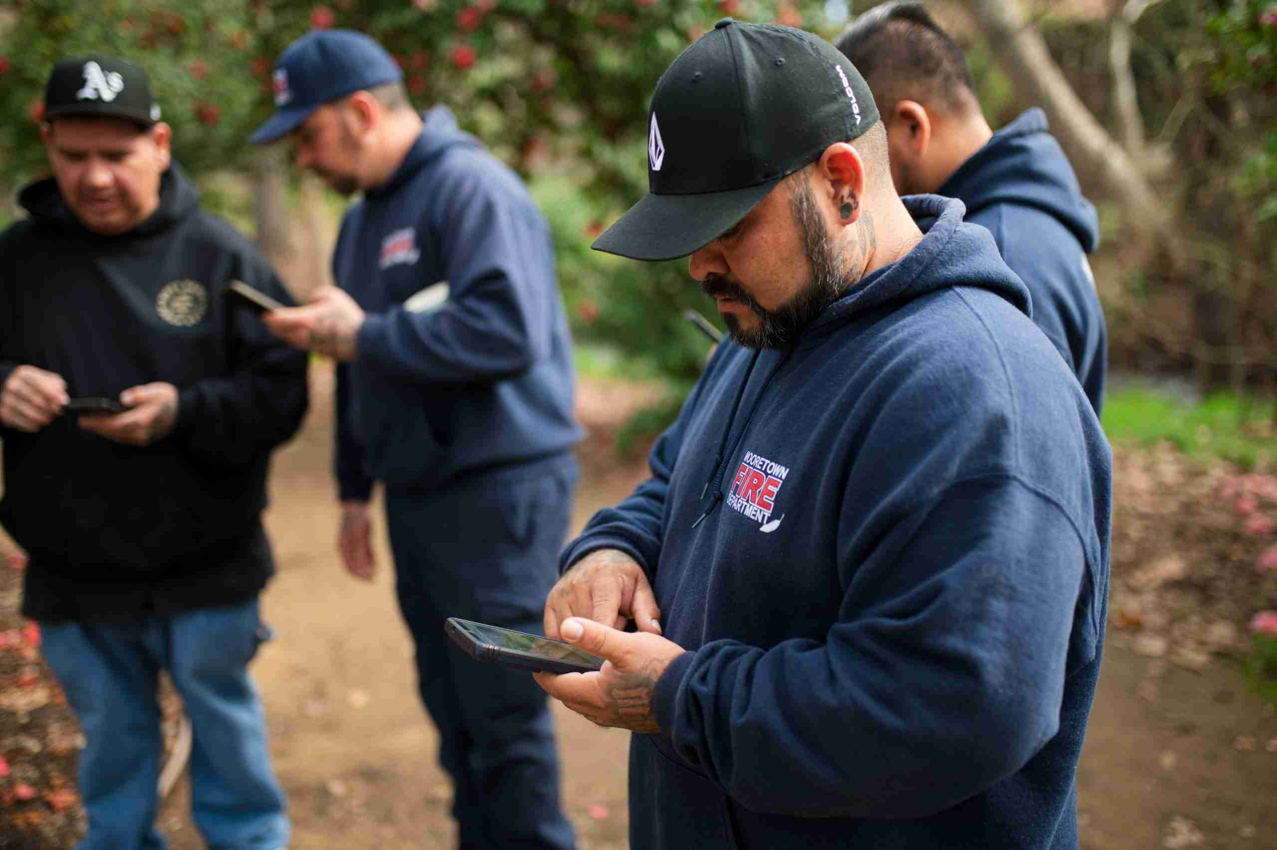
Wednesday brought a focus to the long-term stewardship of these digital systems, looking toward a future where our people are the primary keepers of our own information. The sessions explored various software alternatives and discussed how to navigate public data sources with the respect and caution our history demands. Throughout the day, Donna Begay offered one-on-one virtual consultations to address the unique needs of individual participants, while the collective group tackled the practicalities of licensing and the clever ways GIS can be used to mask sensitive cultural locations on maps meant for the public eye. The training ended that afternoon, not just with technical proficiency, but with a deep reminder of the importance to remain the primary guardians of our land’s secrets and stories.
A Circle of Partnership and Future Stewardship
This journey was made possible through a circle of partnership and shared vision. Our partners, Berkeley Forests and the Sierra Institute made this training possible and ensured that the costs of travel and lodging were not a burden for our people to carry. This effort was a true collaboration, supported by funding from CAL FIRE and strengthened by the expertise of the UC Cooperative Extension and the IGIS program. We also extend our gratitude to the North State Planning and Development Partnership and the CSU Chico Office of Tribal Relations for hosting us in a space that respects our heritage. As participants return to their respective communities, they do so not just with new technical GIS skills, but with a strengthened commitment to being the primary keepers of their land information for all the generations yet to come.
Learn More: High Road Training Partnership (HRTP)
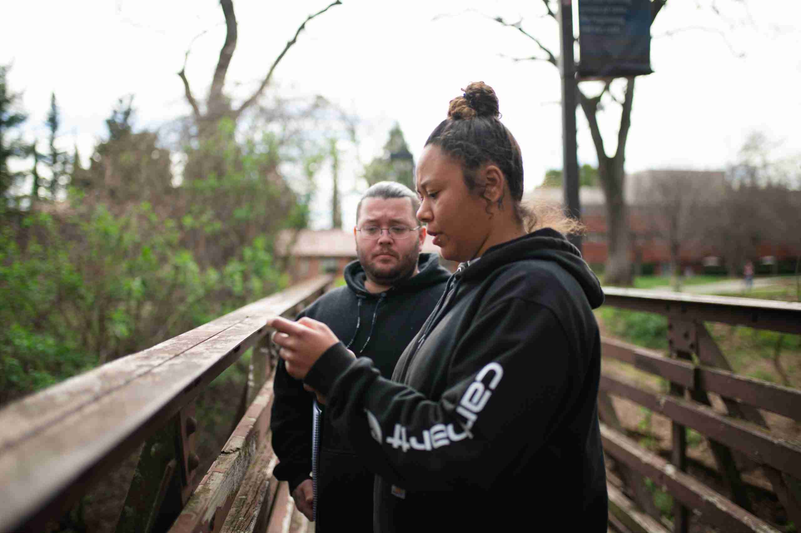
To learn more about how we are investing in our people and our landscapes, visit our High Road Training Partnership page.
About the Author
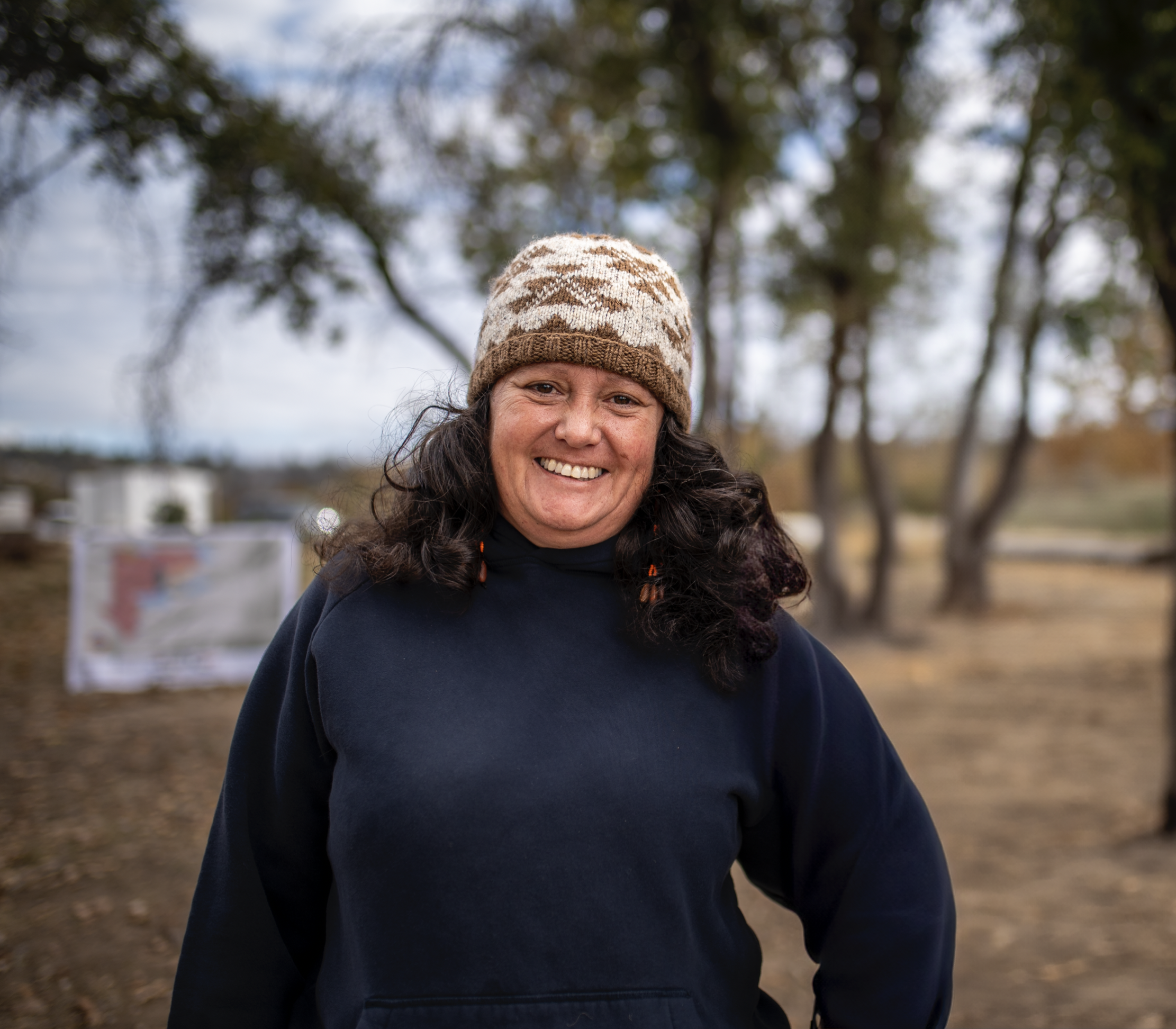
Angela Bolton-Tout is a Tribal Workforce Specialist and a member of the Berry Creek Rancheria Tyme Maidu Tribe. A Certified Tribal Naturalist and TEK practitioner, she works to bridge the gap between restoration and cultural heritage. Her life’s work is dedicated to her family and the next seven generations, ensuring that tribal voices remain the primary guardians of the land.
Related Posts
-
Rural Community Development

-
Feb 24, 2026

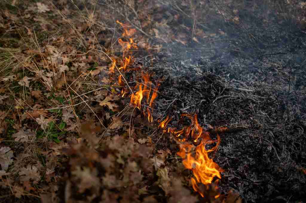
The Hawksprey Burn
The Sierra Institute joined forces with the Pit River Tribe to implement specialized skills training through the Hawksprey Burn project.…
-
Rural Community Development
-
Feb 18, 2026
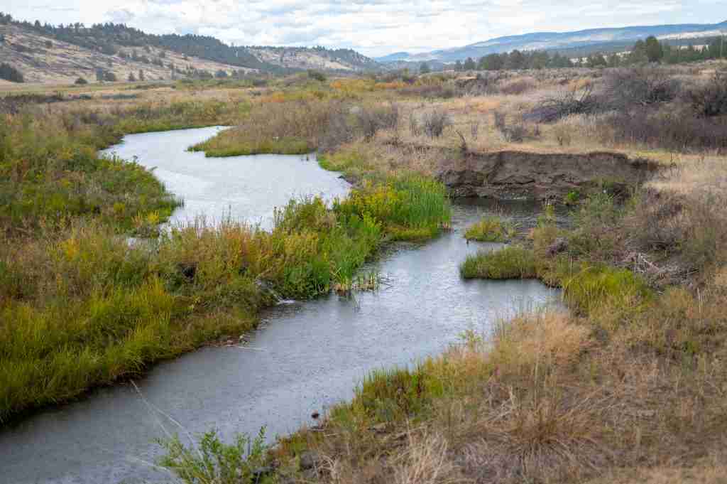
Introducing the Interactive North State Hidden Disparities Map
Sierra Institute is pleased to introduce the Hidden Disparities Map, produced by UC Davis in partnership with North State Jobs…


